- Geospatial Imagery Analytics solutions are critical tools used across a wide range of industries including agriculture, defense, urban planning, disaster management, environmental monitoring, and energy. These tools help organizations extract actionable insights from high-resolution satellite, drone, and aerial imagery.
- The demand for geospatial imagery analytics is significantly driven by the increased availability of remote sensing data, advancements in machine learning and AI for image processing, and the growing need for real-time geospatial intelligence.
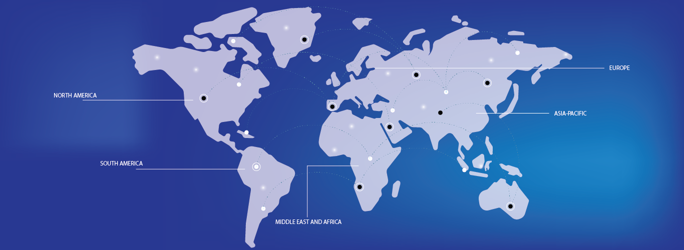
- North America is expected to dominate the Geospatial Imagery Analytics market, owing to its robust geospatial infrastructure, early adoption of AI-based technologies, and a strong presence of key industry players such as ESRI, Maxar Technologies, and Orbital Insight.
- The Asia-Pacific region is projected to be the fastest-growing region in the Geospatial Imagery Analytics market during the forecast period, driven by rapid urbanization, increasing investments in smart city initiatives, and government programs focused on geospatial mapping and surveillance in countries like China and India.
- The Imagery Analytics segment is expected to dominate the market with a market share of 56.22%, due to its widespread application in agriculture yield forecasting, infrastructure development, and security operations. As demand for precision mapping and predictive insights continues to grow, technological innovations in data acquisition and processing will further boost this segment.


